From golf course optimization to solar inspections and construction surveys,
we deliver drone imagery and data insights that drive smarter decisions.
Golf
Orthomosaic imagery and topography maps help with course design, drainage planning, and turf health monitoring, while thermal imaging supports irrigation efficiency.
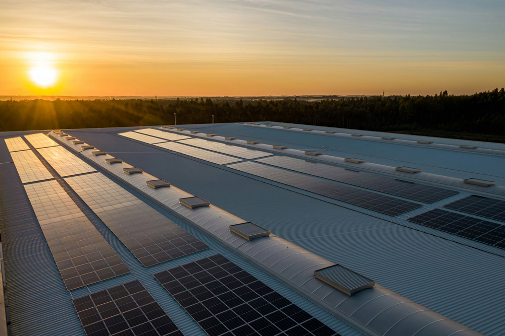
Thermal imaging identifies underperforming panels and overheating issues; orthomosaics aid in layout planning and site documentation for solar farm installations and maintenance.
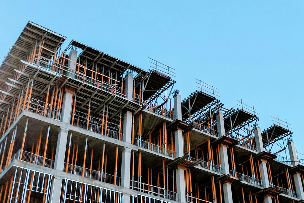
(AEC-S) Architecture, Engineering, Construction, and Surveying
Topographic maps, volume calculations, and orthomosaics support site planning, progress tracking, and material management with high precision and reduced survey time.
Thermal imaging detects heat loss and water damage, while orthomosaics provide a full view of roof conditions and property layout without needing physical access.
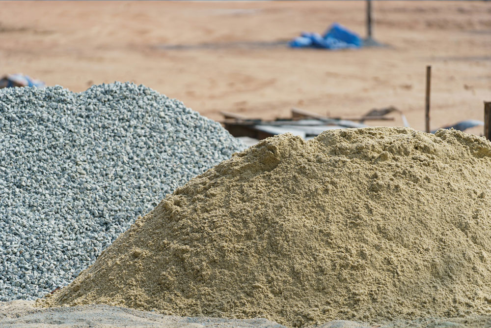
Volume calculations, inventory reports, and orthomosaics support site planning, progress tracking, and material management with high precision and reduced survey time.